
Ontario shares border crossings with Minnesota, Michigan, and Ohio. Ohio and Pennyslvania share water access to Ontario that accounts for some entry from these states. Ferry entry from Ohio into Ontario is possible.
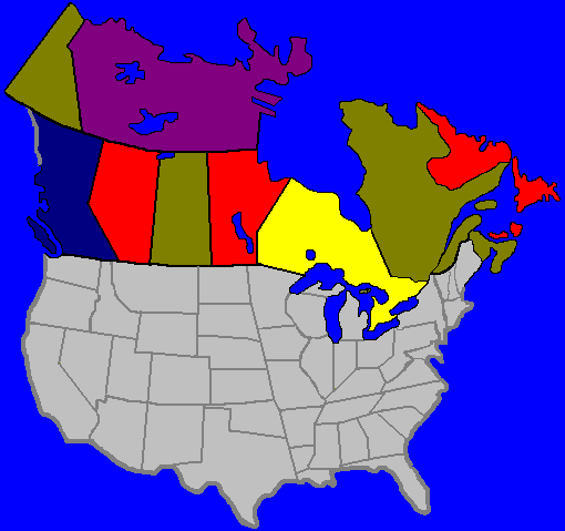
Below is a list of border crossing points into Ontario from the U.S. They are indicated as yellow circles on the map. The border crossings connect to one of three major Ontario highways. The Trans-Canada or #11, which crosses not only Ontario but the country, the 401 highway which runs along the top of Lake Erie and Ontario, and the QEW (Queen Elizabeth Way) which connects the New York crossings to Toronto and the 401 highway.
Town names appearing in Italics indicate the closest large town near the actual border point

| Border Crossings |
| U.S City | Highway access | Canadian City | Major Highway |
| MINNESOTA | |||
| Baudette | 72 | Rainy River | 11 |
| International Falls | 53/11 | Fort Frances | 11 |
| Grand Portage | 61 | Thunder Bay | 61 |
| MICHIGAN | |||
| Sault St. Marie | I-75 | Sault St. Marie | 11 |
| Port Huron | I-94 | Sarnia | 402 |
| Detroit | I-75 | Windsor | 401 |
| NEW YORK | |||
| Buffalo | I-90 | Fort Erie | QEW |
| Niagara Falls | I-90 | Niagara Falls | QEW |
| Lewiston | I-90 | Queenston | 401 |
| Cape Vincent | 12E | Kingston | 401 |
| Alexandria Bay | I-81 | Gananoque | 401 |
| Ogdensburg | 37 | Prescott | 401 |
| Messina | 37 | Cornwall | 401 |
SITE INDEX: [MAIN MENU] [MAP INDEX] [American Visitors] [World Wide Visitors] [Canadian Visitors] [Help]
© M. Colautti 1998, 1999