 |
||||
|
|
|
|
|
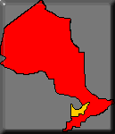
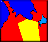
Region 3: LakeLands, District Headwaters, Town OrangevilleThe thumbnails show the location of the region within the province. Clicking on it raises you to the level shown. |
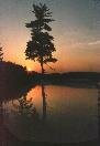
Virtual Christmas ShowEvery year a quiet park in Orangeville is lit up as part of winter celebrations. This year Ontario Explorer is featuring this park in a Christmas Gallery which you can visit here. |
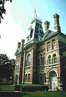
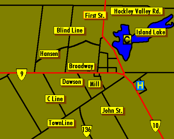
Orangeville is situated nearly 80 kilometres north of Toronto. Located at the confluence of highway 9 and 10 it is am important crossroads. Large amounts of cottage country traffic must past through or near to Orangeville. The town boasts a variety of restaurants and shops. The surrounding country side is one of great scenic beauty. The theatre in the restored Town Hall is an important attraction.
Art Galleries, craft and gift shops, and even a monastery add to the cultural life. Cross country, and downhill ski runs add to the winter fun. The bruce trail, and numerous secondary trail systems provide hikes ranging from short walks to extended trips.
Named for Orange Lawrence a pioneer miller, the town became incorporated in 1874. The towns physical location is important because of its location at the headwaters of four river systems: The Nottawasaga draining north towards Wasaga. The Credit and Humber that flow towards Toronto, and the Grand which arcs its way southward to discharge in Lake Erie.
As in the past, the rivers are harnessed for a multitude of uses. The Orangeville Resevoir is a favourite spot for a variety of water activities.
SITE INDEX:
[MAIN MENU] [MAP INDEX] [American Visitors] [World Wide Visitors] [Canadian Visitors] [Help] [Advertise Here]© M. Colautti 1998, 1999, 2000
Visit the new national site CanExplore